

Community-based tools to guide people from homeless to housed.


Community-based tools to guide people from homeless to housed.


Show The Way
By Simtech Solutions
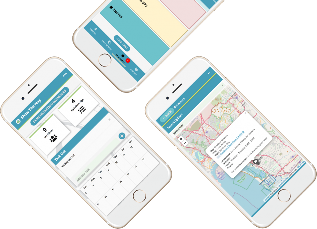
Outreach teams often have different coverage areas, services they provide, and operating hours. People experiencing homelessness need to know where to go for help and resources, but it can be unclear. Show The Way provides the solution, by enabling teams to support people right where they are with follow-ups and notes. Click on the video for an introduction.
Our Approach
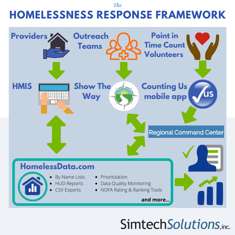
Our mission is to help communities determine the extent of homelessness locally, understand the underlying issues, and measure the efficacy of work being done to prevent and end homelessness. We use Human-Centered Design practices that take into account the experience of both the teams we work with and the people they are serving. Simtech’s advanced technology and deep knowledge about the US Department of Housing and Urban Development (HUD) Continuum of Care (CoC) program and Homeless Management Information System (HMIS) enable us to support a wide range of customers throughout the U.S.

Real-time Data Capture
Location Tracking
By-Name List
Resource Directory
Review Details

How It Works
Show The Way allows street outreach workers, first responders, and others (Navigators) to quickly capture information about the exact location of an interaction, identify the person they are engaging with, conduct a “light touch” assessment, and track whatever services or resources were provided.
People living on the street tend to be more vulnerable and more expensive to a community in terms of interactions with police, hospitalizations, and emergency room visits. Without better data collection however, those who prefer the streets to shelter tend to be ranked lower than their peers by the tools used to prioritize people for housing. Show The Way provides the solution to capture information about their length of time homeless and other indicators of vulnerability.
